Fällanden
Trail Loorenkopf
This trail leads through a ravine with huge boulders up to the Adlisberg, and from there to the residential areas with the most beautiful views in all of Zurich.
- Travel time from Zurich Main Station: 25 min.
- Start: Zurich, Fällanden
- Finish: Zurich, Rigiblick
- Length: 9km (5½ miles)
- Duration: 2.5 hours
- Difference in elevation: 250m (820ft)
- Level of difficulty: easy
- Physical fitness: easy
Route Description
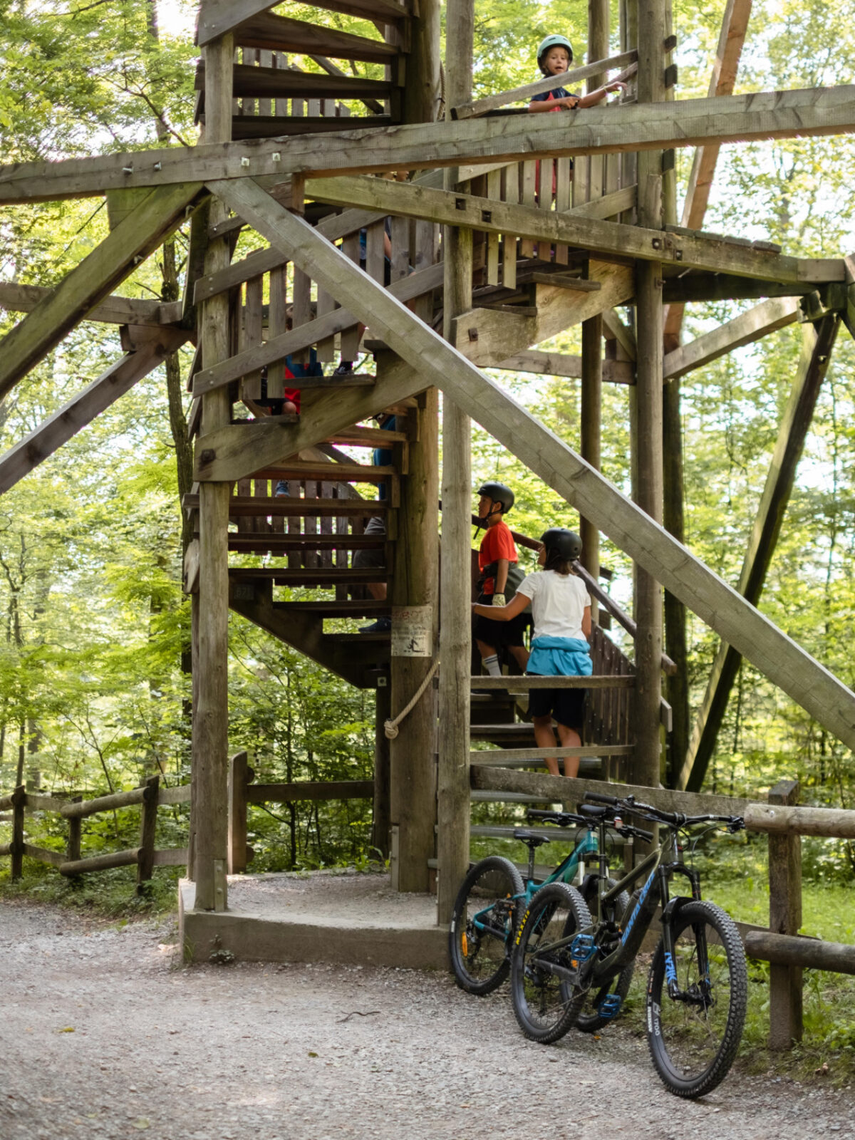
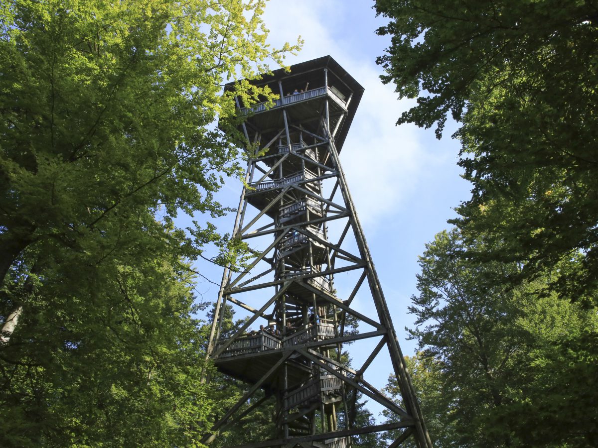
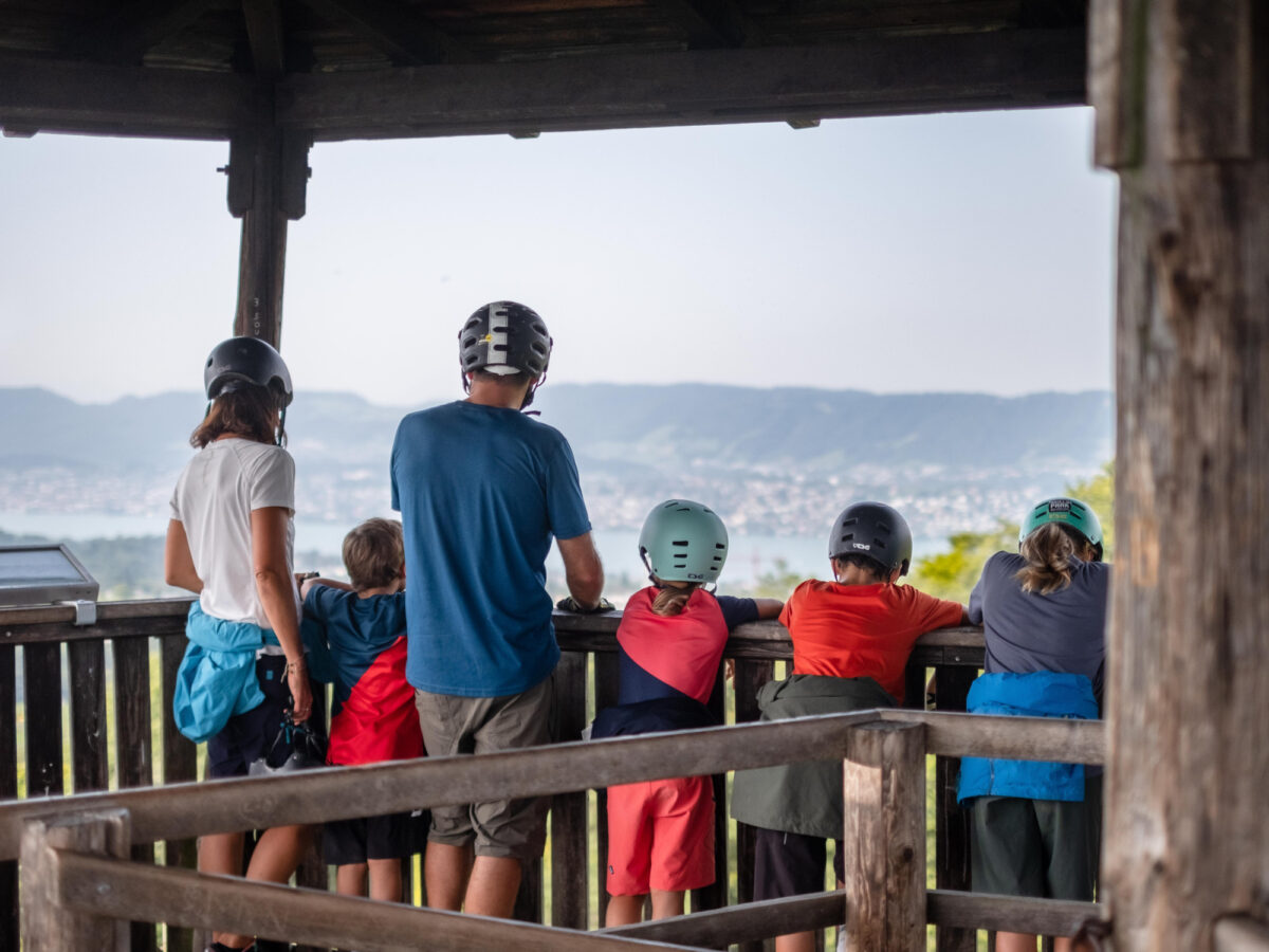
The Jörentobel ravine ends at the former mill, high above Fällanden. In the lower part, the brook has cut into the lateral moraine. Here the largest collection of boulders in Canton Zurich can be found, together with hundreds of erratic blocks from the Glarus Alps. Before long, the trail leaves the ravine and climbs up through the residential areas of Pfaffhausen, then through the woods to the Loorenkopf at the eastern end of the Adlisberg. Here there is an observation tower with a 360° view of the Glattal valley, the Zurich Oberland, and the Alps in the distance.
Particularly Recommended
The 30m (100ft) high observation tower on the Adlisberg, from where the views extend as far as Central Switzerland and the Bernese and Glarus Alps.
Catering Facilities En Route
Halfway along the route, the Restaurant Adlisberg lies in a picturesque clearing in the forest, near to The Dolder Grand hotel. Further towards the city, hikers can enjoy superb views over Lake Zurich from the Restaurant R21, while at the end of the tour, the Restaurant and Bistro Rigiblick treat them to a lavish meal or coffee and cake.

Adventure Park Milandia

Greifensee Skate
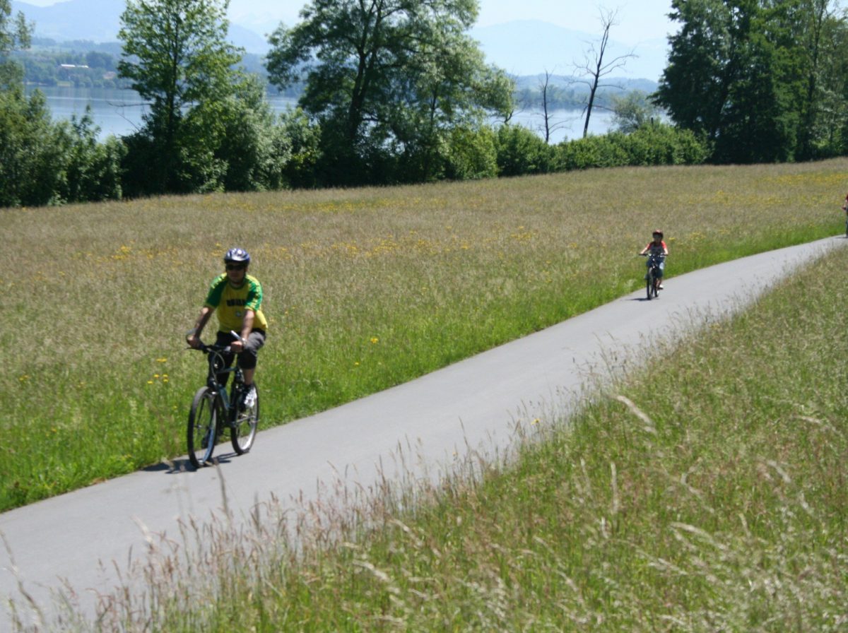
Bike Trail Roundtrip Greifensee
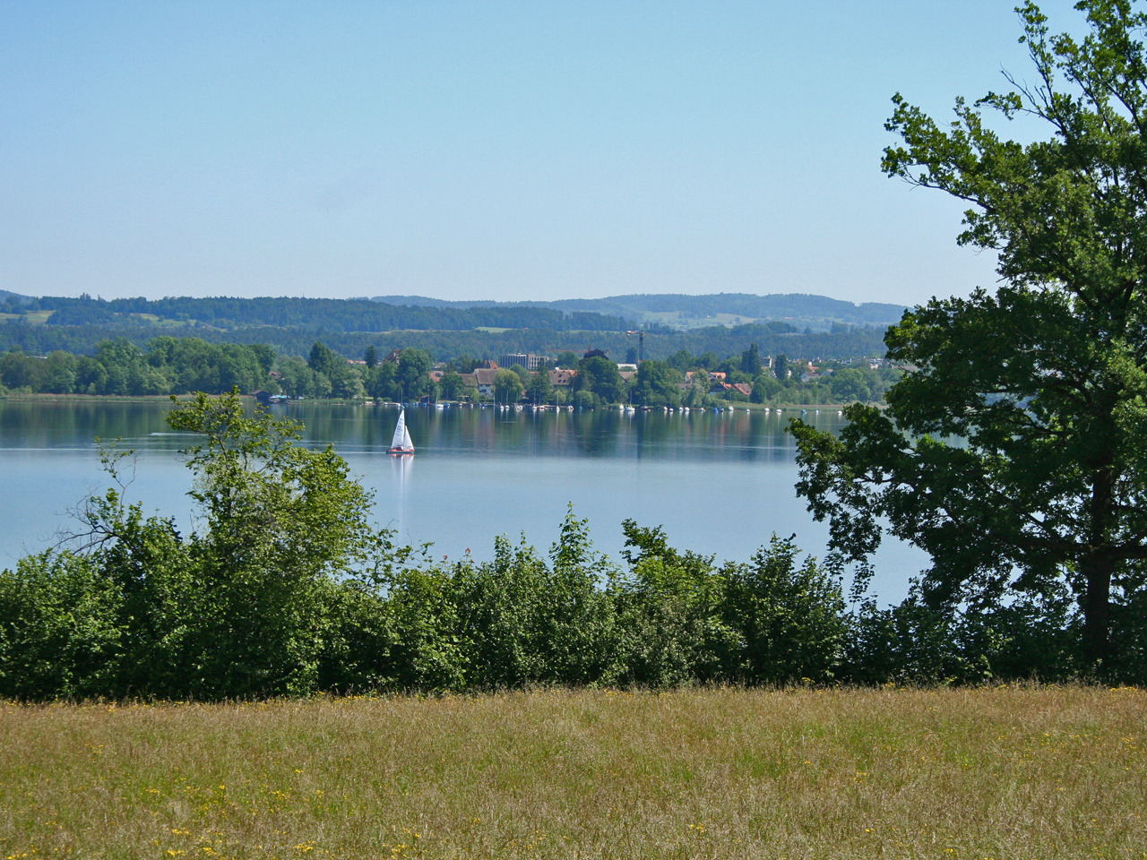
Greifensee Lake
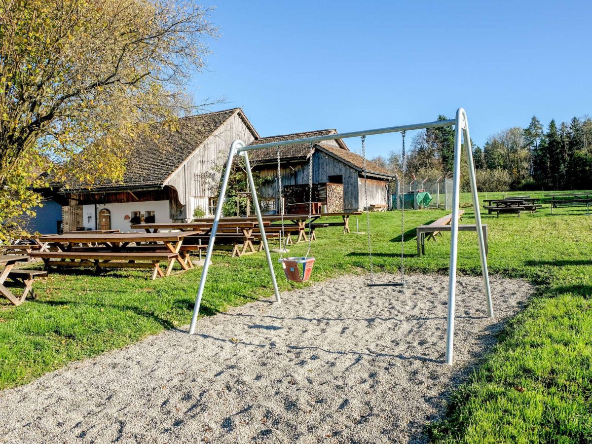
Wirtschaft Alter Tobelhof

Café am Puls